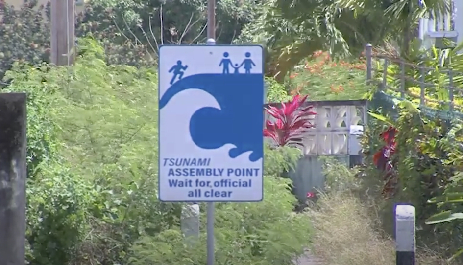
Barbados is capable of spotting and receiving early warning of an imminent tsunami occurrence, assisting with the prompt evacuation of vulnerable coastal communities.
Brian Murray, the Deputy Director of the Barbados Meteorological Services (BMS), stated on Wednesday that sensors for measuring water levels that can detect noticeable changes in the ocean’s level have been strategically positioned all across the island.
The Pacific Tsunami Warning Centre, the University of the West Indies Seismic Research Centre, the BMS Insight app, and the CAP.CAP app are some of the early warning technologies used by the BMS to detect tsunamis and other hydrometeorological dangers. “This equipment is very critical,” he stated.
The BMS was also updating its Multi-Hazard Early Warning Systems (MHEWS) to enable earlier notice in the case of a hazard impact, according to the Deputy Director. Among the tools used in these early warning systems include Doppler radar, autonomous weather stations, satellite images, and numerical weather models.
Murray emphasised the importance of paying attention to the tsunami hazard brought on by subsurface earthquakes in the Atlantic Ocean or the Eastern Caribbean.
In addition to the tsunamis that resulted from the earthquakes in Lisbon, Portugal, in 1755 and 1761, Martinique’s earthquake in 1767, La Soufriere Volcano’s volcanic eruption in St. Vincent and the Grenadines in 1902, Kick ’em Jenny’s submarine volcanic eruption in 1939, and Guadeloupe’s earthquake in 1969 all had an impact on Barbados.
The tsunami wave run-ups on those occasions were deemed to be “relatively minor” and varied from 0.4 to 1.8 metres.


